 Scenic
Bike Ride in South Natick, Sherborn, and Dover
Scenic
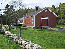
Bike Ride in South Natick, Sherborn, and DoverThe Eliot Church at South Natick Square marks the original site where John Eliot established a praying Indian village in 1651. Nearby is the Pleasant St. Bridge over the Charles River. Ride west on Eliot Street (Route 16), passing several historic houses on the right, including Sam Lawton House (#69 Eliot St., built up to the sidewalk, 1798), and Rev. Stephen Badger House (#87, in a classic colonial setting, 1753). Also on the right is the Natick Community Organic Farm.
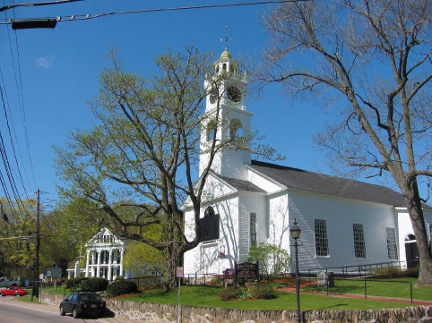
Eliot Church with Goin Bailey
House on left
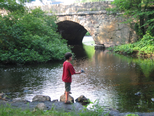
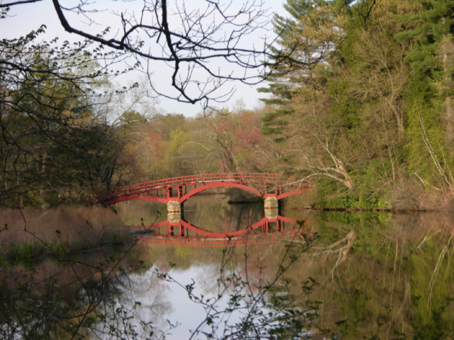
Pleasant St.
Bridge
Stephen
Badger House
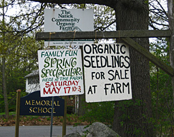
Community Farm
Sargent Footbridge
Bear left onto South Street. Century Farms is at the corner on the left.
Farm at Corner of Eliot and
South Streets

South Street
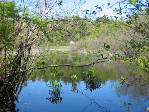
Broodmoor Wildlife Sanctuary
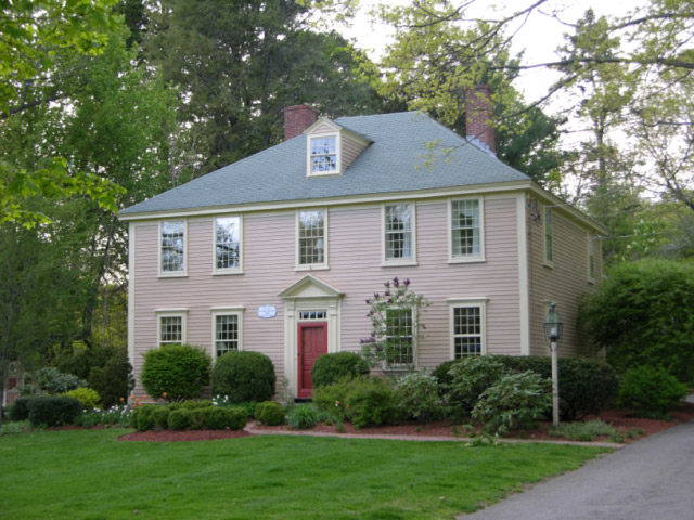
Immediately afterwards is the Thomas Sawin House, probably the oldest house in Natick, with parts dating back to the 1690s. Climb the steep hill and continue into SHERBORN.
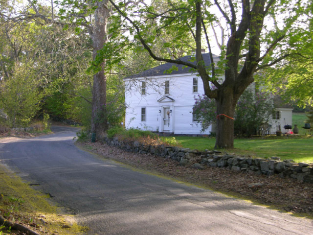
Thomas Savin House
157 Farm Road
The next farm (#177, a 1759 house with a white barn) is the site where Daniel Morse first settled the area, then part of Natick, in 1658. The current building and others on this road were built by his descendents. The Daniel Morse III house at #210 (with natural brown shingles, 1710) is probably the oldest in Sherborn. In recent years, Farm Road has been planted with daffodils, creating the “Sherborn Daffodil Trail” to the center of town.
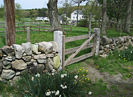
177
Farm Road
Cross Charles River and enter DOVER, where the road becomes Bridge Street. This is the first bridge and first canoe landing upstream from South Natick.
At end of Bridge Street, bear left onto Farm Street.
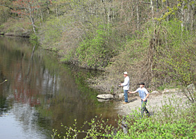
Charles River from Bridge
Street
The
Trustees of Reservations own two properties here, with many public trails:
Chase Woodlands* on the right and Peters
Reservation* (which backs onto the river) on the
left.
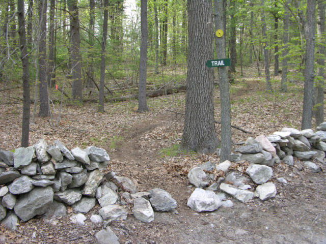
Peters Reservation
Turn left onto Glen Street, which has no more hills! Pass the Boston College Retreat Center on the left (formerly St. Stephens Priory). Entering NATICK, the first street on the right, Sassamon Road, leads to the Mumford Wildlife Forest,* where a new walking trail has been build connecting to Pegan Hill Reservation.*
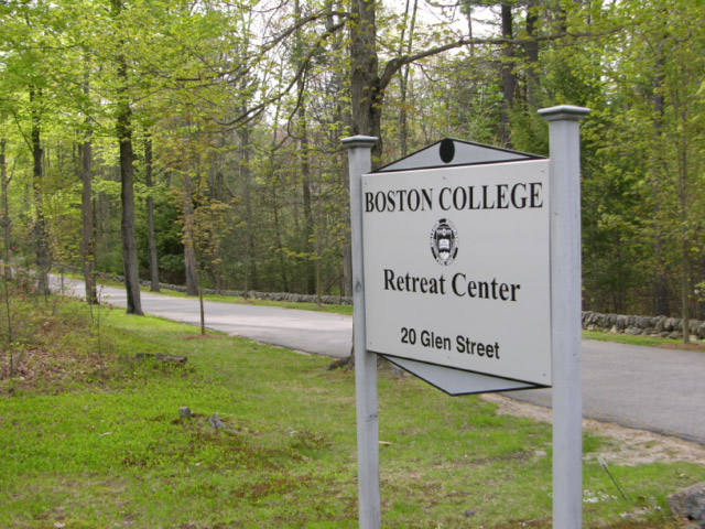
Boston College Retreat Center
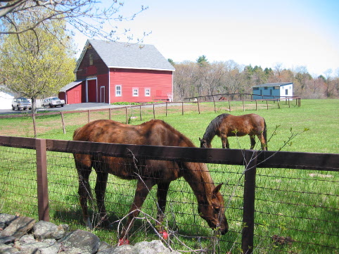
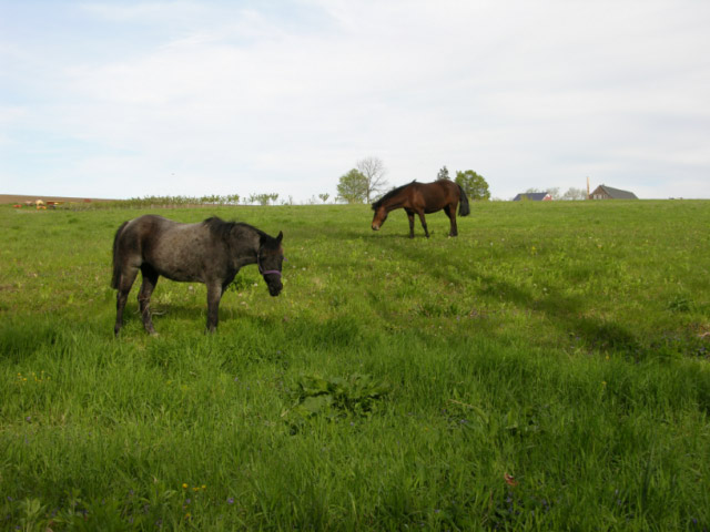
On the right are the apple orchards and horse grazing area of Belkin Lookout Farm.*
On the left is Glenwood Street. (A short side trip leads to the quiet Glenwood Cemetery,* surrounded by conservation land. Here are buried many prominent South Natick families, including Horatio Alger)
Lookout Farm
At the end of Glen Street, turn left onto Pleasant Street, and cross the Charles River, with a view of the South Natick Dam. (Or consider another side trip, right on Pleasant Street, to the Lookout Farm Shop for their famous gelato.)
Return to South Natick Square.
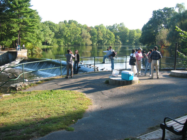
South Natick Dam
* Indicates scenic walking areas recommended as a side-trip.